The Aberdeenshire Coastal Trail stretches for about 160 miles from Cullen in the north to Montrose in the south. I have walked bits and pieces of it on days out but never in any kind of systematic way. As a national trail, it is not well documented - there are (not very good) maps available from the Aberdeenshire Council website and Gil Campbell has written briefly about it on his blog of walking around the Scottish Coast. But there isn’t much freely available information on blogs and the web about the good and not so good bits.
So, I thought maybe I should walk the path and write a guide. Living in NE Scotland, I can get to most sections easily and it seemed a reasonable objective to do a series of day walks along the trail. Then I looked at the maps. Not good. Far too much of it doesn’t actually follow the coast but is on minor and sometimes not so minor roads. So, walking the whole trail is not for me. Instead, I decided to do a series of posts over the next year or so on the off%20road bits of the trail and on some of the places along the way.
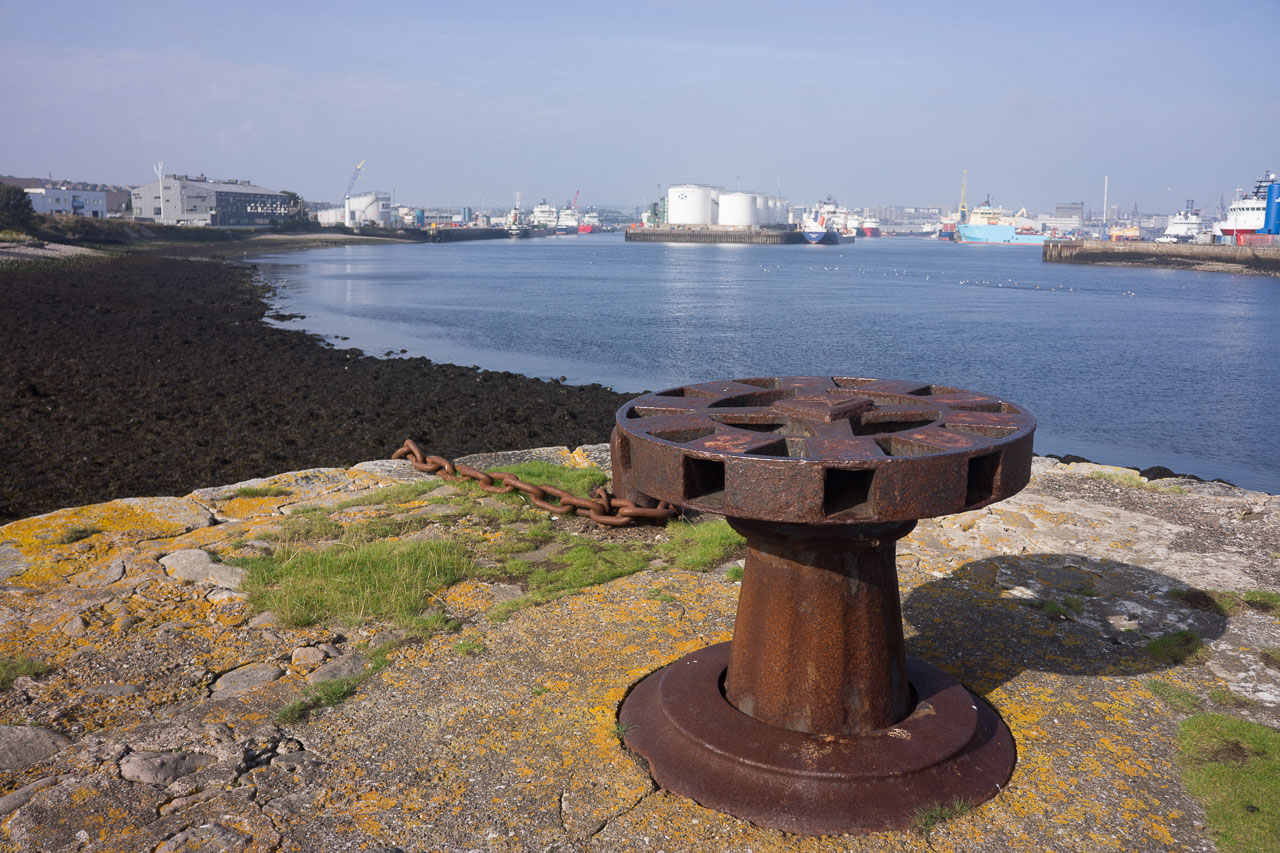
I started by taking the bus to Aberdeen, Scotland’s oil capital, and walking from the Union Square bus station. After walking through the busy harbour and the fish processing factories at Torry, you suddenly leave the city and the coast opens out in front of you. As you go up the hill towards the lighthouse, you can see an old wharf and windlass on the left which is where I joined the coastal path. You get a good view here back into the harbour.
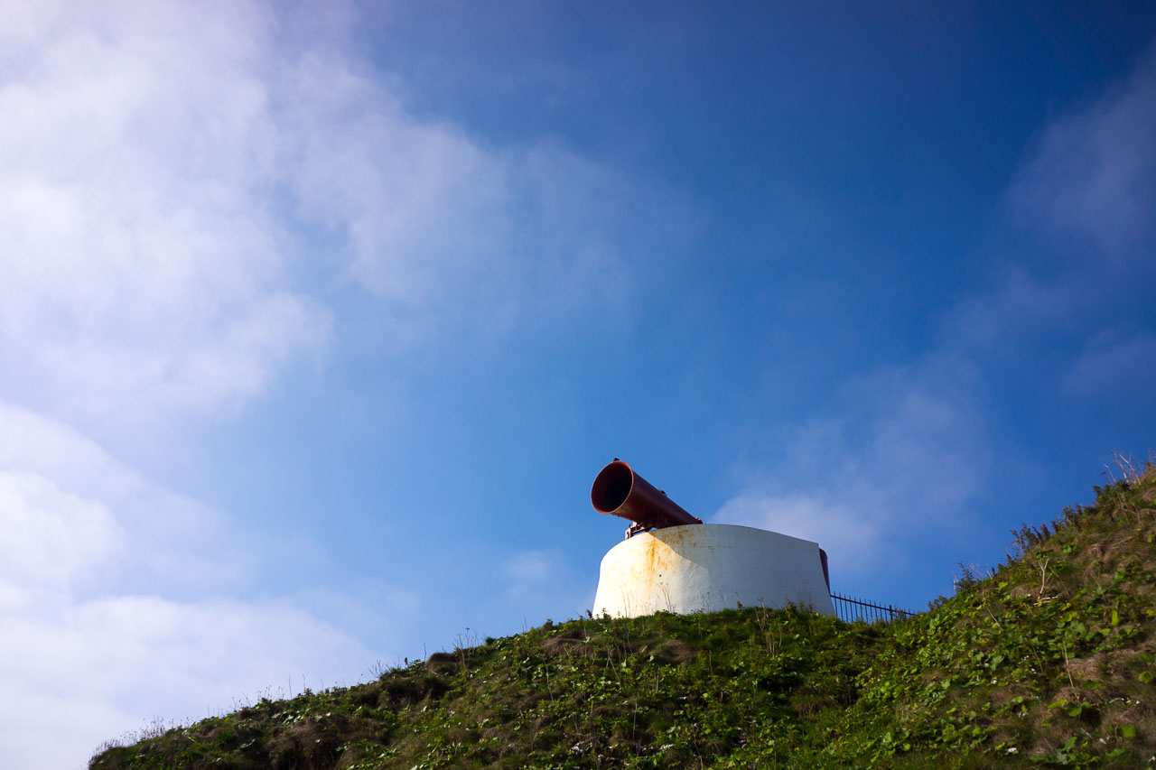
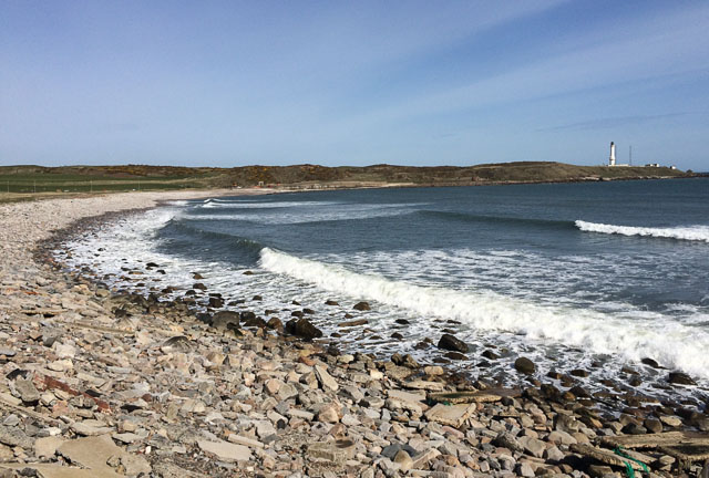
The path follows the coast with the Girdle Ness lighthouse on your right. I stayed on the beach past a wee cove where I finished my first TGO Challenge and the giant foghorn to Nigg Bay. The official path is on the road up the hill but I stayed low and made my way around the grassy cliffs. The path is a bit tenuous here and if you don’t like steep grass, it’s best to avoid this bit. I then made my way up the the top of the cliffs and joined the marked path to Cove.
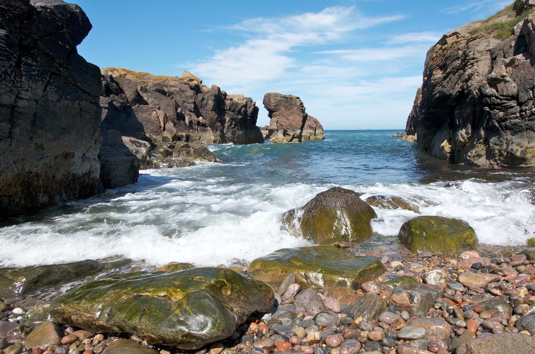
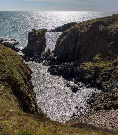
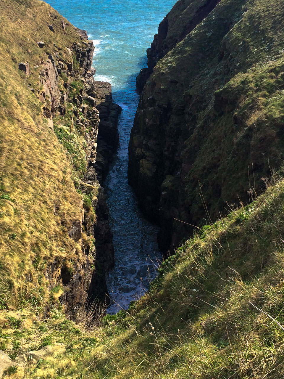
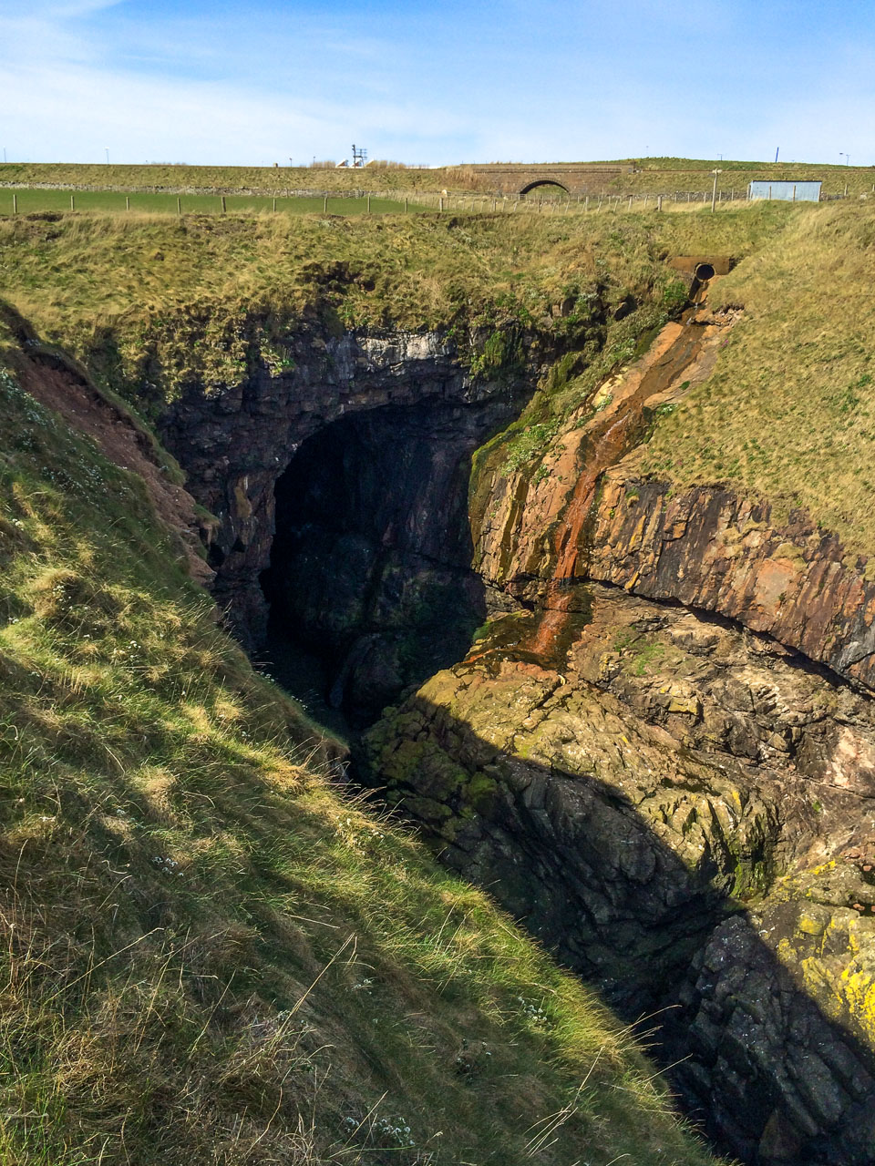
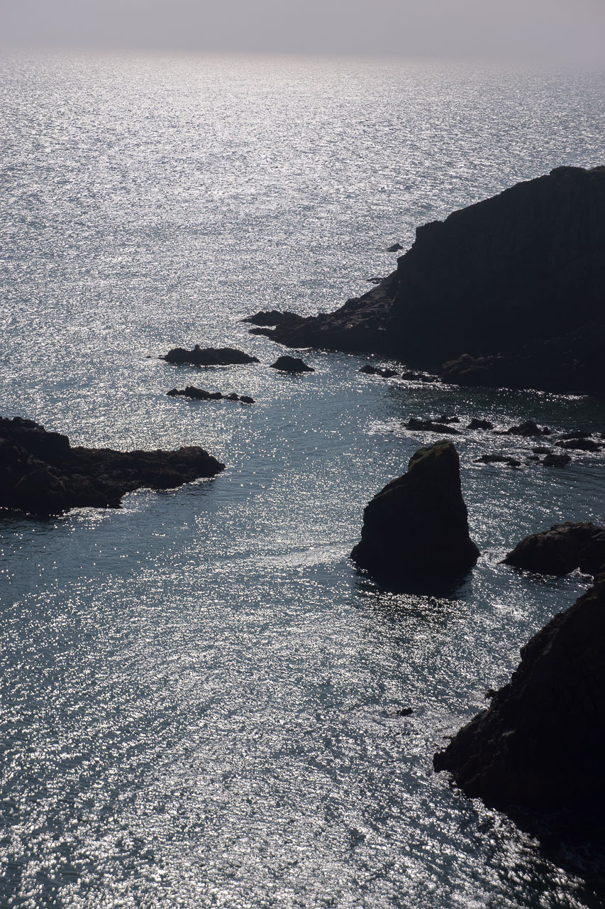
This is an absolutely delightful section along the cliff tops. The coastal scenery is fabulous - it was like a school geography lesson come to life with all kinds of coastal features- stacks, geos and caves. It’s easy walking and there are places you can get off the path for a break.
I stopped for lunch on the cliff tops about a mile outside the village of Cove.
Instead of following the marked path to Cove, I stayed on the coastal path to Cove harbour. Then it’s up quite a steep hill into the village, where there’s a shop and a pub. I met a coastal backpacker here, walking from Stonehaven to Portsoy to complete his last section of his east coast walk and we chatted for a while.
The path leaves the coast here and you walk through the village, past the school to a minor road on the left where the trail continues. After you pass the quarry, this road is pretty quiet and I followed it to the village of Findon. A random food fact about Findon is that it’s the home of ‘Finnan Haddie’, a type of smoked haddock that used to be very popular. It has now been eclipsed by the better known Arbroath smoke and you rarely see them nowadays. There’s no smokers left in Findon.
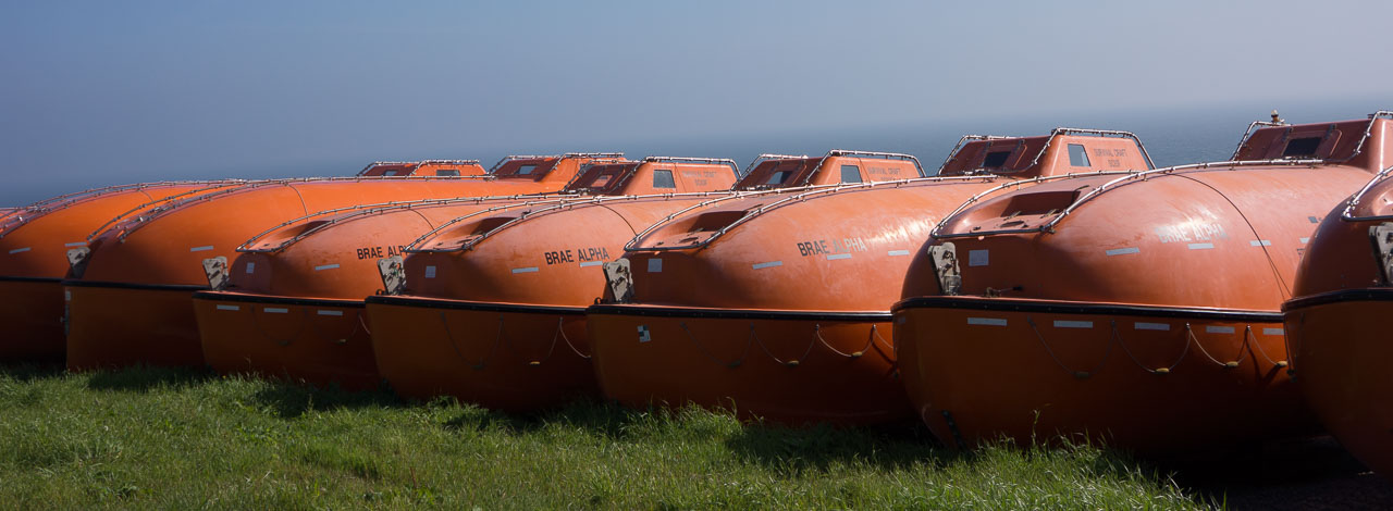
At Findon, you can get back onto the coast by turning left where the road takes a sharp right turn. This takes you down the hill to Survival Craft Inspections, a company that checks out oil rig lifeboats. The orange boats give it a rather surreal feel, like something out of a science fiction film.
It’s quite hard to find the path here %20 I was directed to it by a couple of workers. It basically goes round the company’s yard then down some overgrown steps and across a bridge back to the cliffs. It was good to get back to the fabulous coastal scenery.
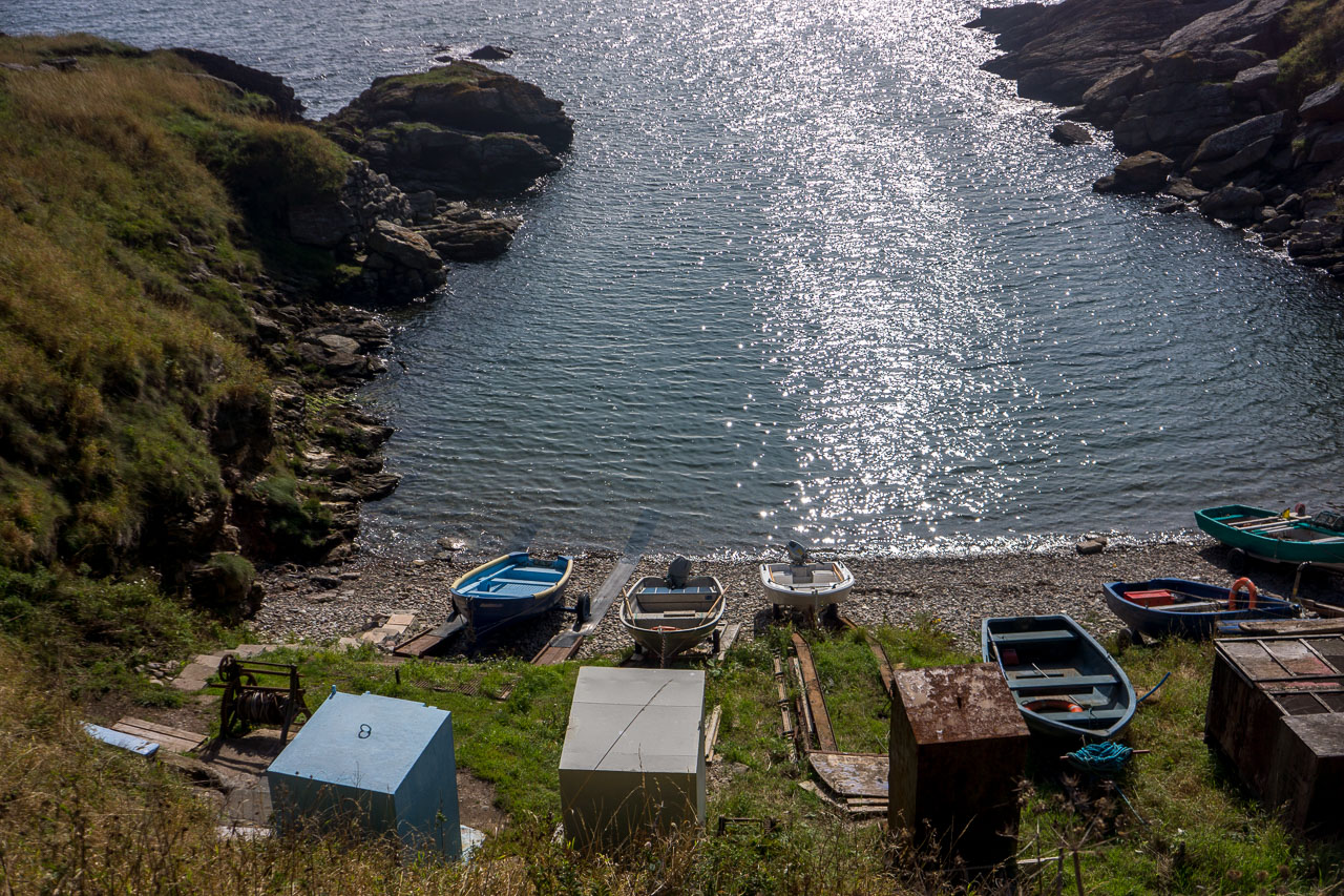
From here, it’s only a short walk to Old Portlethen. Remarkably, this was a fishing village at one time, with a tiny harbour in a rocky cove.
From here, it’s about a mile up the hill to Portlethen, a modern Aberdeen suburb. After passing the station, I caught a number 7 bus back into Aberdeen and then home.
Aberdeen to Portlethen: About 19km