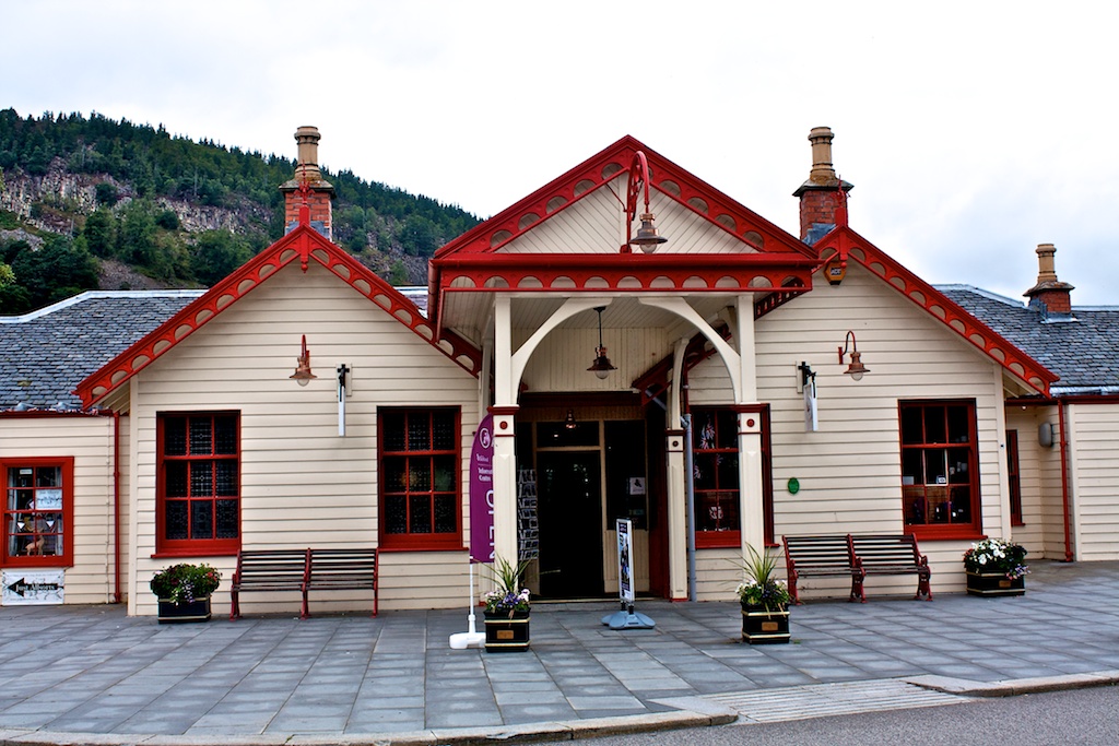
The Deeside way is a long distance path that follows the valley of the River Dee from Ballater to Duthie Park in Aberdeen. It mostly follows the old Deeside railway line which was built in the 19th century and which became well-known as Queen Victoria’s route to Balmoral Castle. It is a ‘work in progress’ i.e it isn’t finished and there is a gap between Banchory and Potarch Bridge and a shorter gap between Aboyne and Kincardine O’Neill.
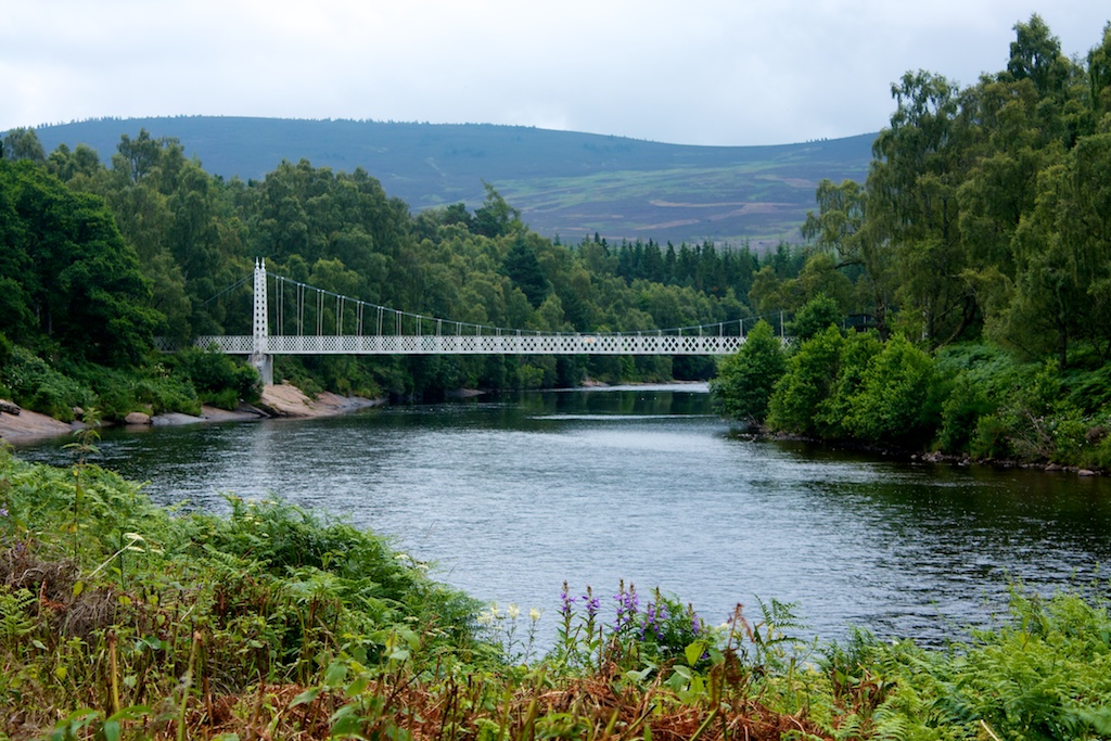
I walked from Ballater station to Aboyne on a cloudy but improving day. This is about 10 miles, easy walking along the Way. It’s a pleasant but, to be honest, a not particularly inspiring walk. I’d hoped to have lots of views of the River Dee but the Way is only near the river at Cambus O’May.
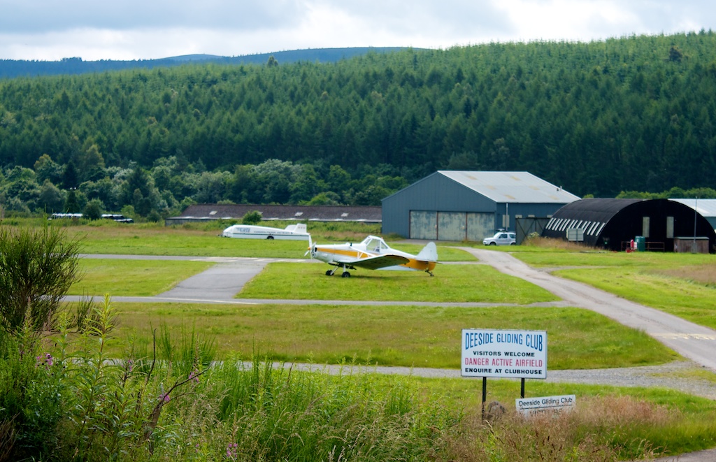
I made the mistake of not taking a break at Cambus O’May but decided to go on a bit before stopping for a coffee. There is really nowhere to stop at all - for much of the way, the path is between fences. I eventually stopped more than an hour later at a picnic area beside the Deeside Gliding Club.
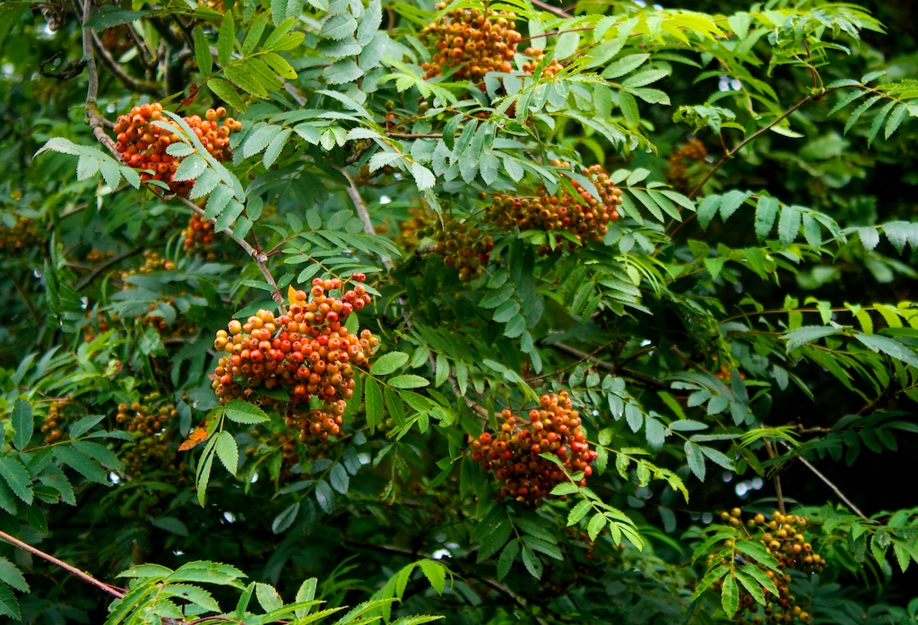
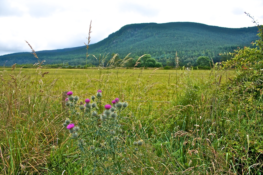
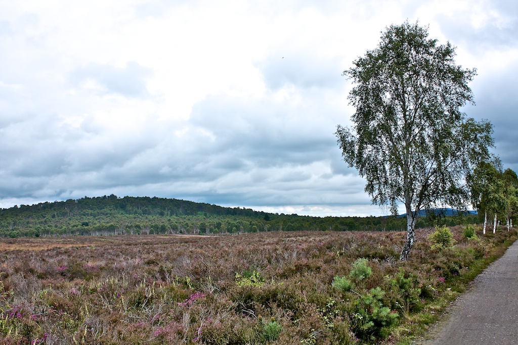
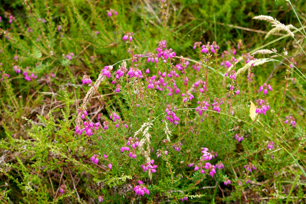
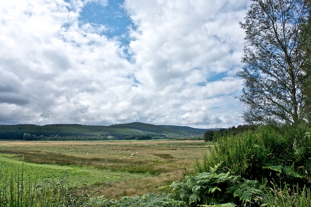
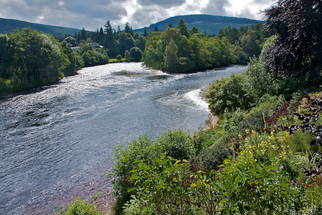
The good bits of this walk are just outside Ballater, the river by Cambus O’May and Dinnet Muir. The rest of it was OK but not really worth repeating. The path ends at the edge of Aboyne and, after a bit of a trudge through the outskirts, I walked down to the Dee for another view of the water.