Rising just over 500 metres from the North-East lowlands, Bennachie is an iconic hills for folks from Aberdeen and the surrounding area. I guess that a large chunk of the population of Aberdeen have been up Bennachie at least once and it has it’s own conservation charity, the Baillies of Bennachie.
It’s about 45 minutes drive from where I live so it’s not exactly a local hill. Nevertheless, I like to try and get up there once or twice a year for the fantastic views. It’s an easy walk but a great way to spend half a day. Taking in both the summits of Mither Tap and Oxen Craig (about 9.5 km) we took about 3 hours for the round trip but this included lengthy stops on the summits.
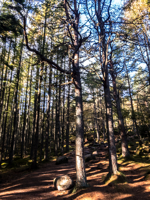
The path from the visitor centre car park wends its way through the woods for the first part of the climb.
The trees are a mixture of conifers and deciduous trees but we were a wee bit early for the full autumn colours.
Only the birches seemed to have started to turn.
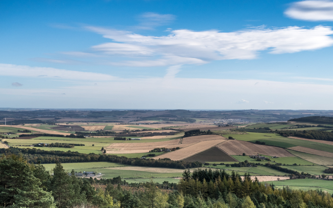
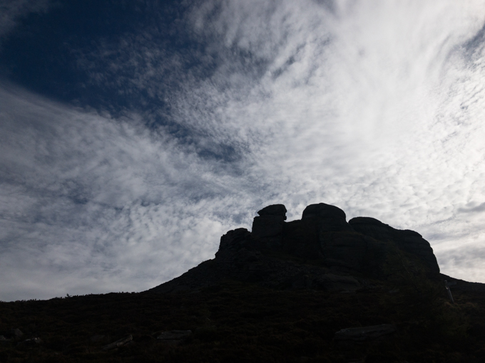
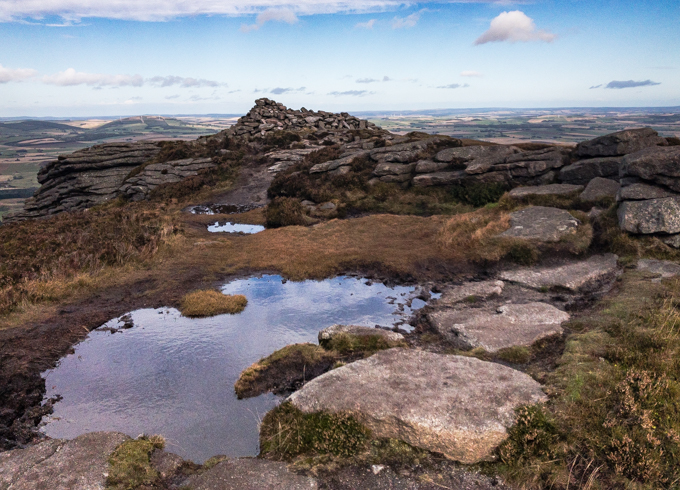
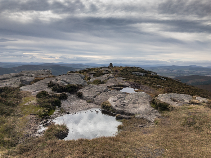
The first top and the only one that most people go to is the Mither Tap - obviously named from the distinctive shape of the hill. It has the remnants of an Iron Age fort on the summit although I’m fairly sure the wall has been rebuilt. Most people think this is the highest point on Bennachie - I did for a long time. In fact, Oxen Craig in the distance here is about 10m higher. We left the top and walked over the obvious path to Oxen Craig.On the way over to Oxen Craig, you circle around the summit tor of the Mither Tap which can look very dramatic.There’s usually a wee puddle on the top of Oxen Craig which makes a fine foreground for shots of the summit.The same puddle but looking east with Mount Keen in the background. By this time, the forecast cloud was building from the west and it clouded over completely as we were eating lunch on the summit. So, we decided against going on further and headed back to the car. The rain started after we got back, just a few minutes earlier than forecast - the BBC local weather forecast is sometimes spookily accurate.
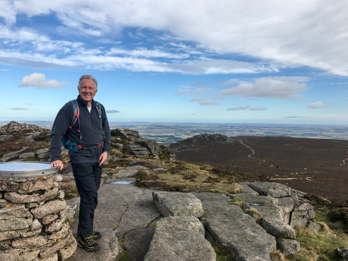
And finally ... I mostly dauner aboot on my own but I had a pal with me today so this is, I think, one of only 2 or 3 pictures of me on this blog. I'm not photogenic so there won't be many more.