On the ‘official’ maps of the Aberdeenshire coastal path, there’s a gap between Muchalls and Stonehaven, with the implication that you need to walk along the edge of the busy A90. But my experience is that the ‘official’ maps don’t really reflect the reality on the ground so I thought I would try to see if there was actually a coastal route.
My original idea when walking the coastal path was to do it in sections and use public transport to get to each section. But, good intentions fall apart when faced with infrequent bus services so we decided today to do this today by parking one car at Stonehaven then driving to Muchalls.
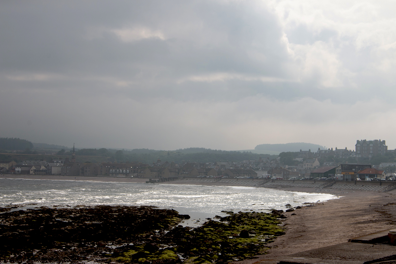
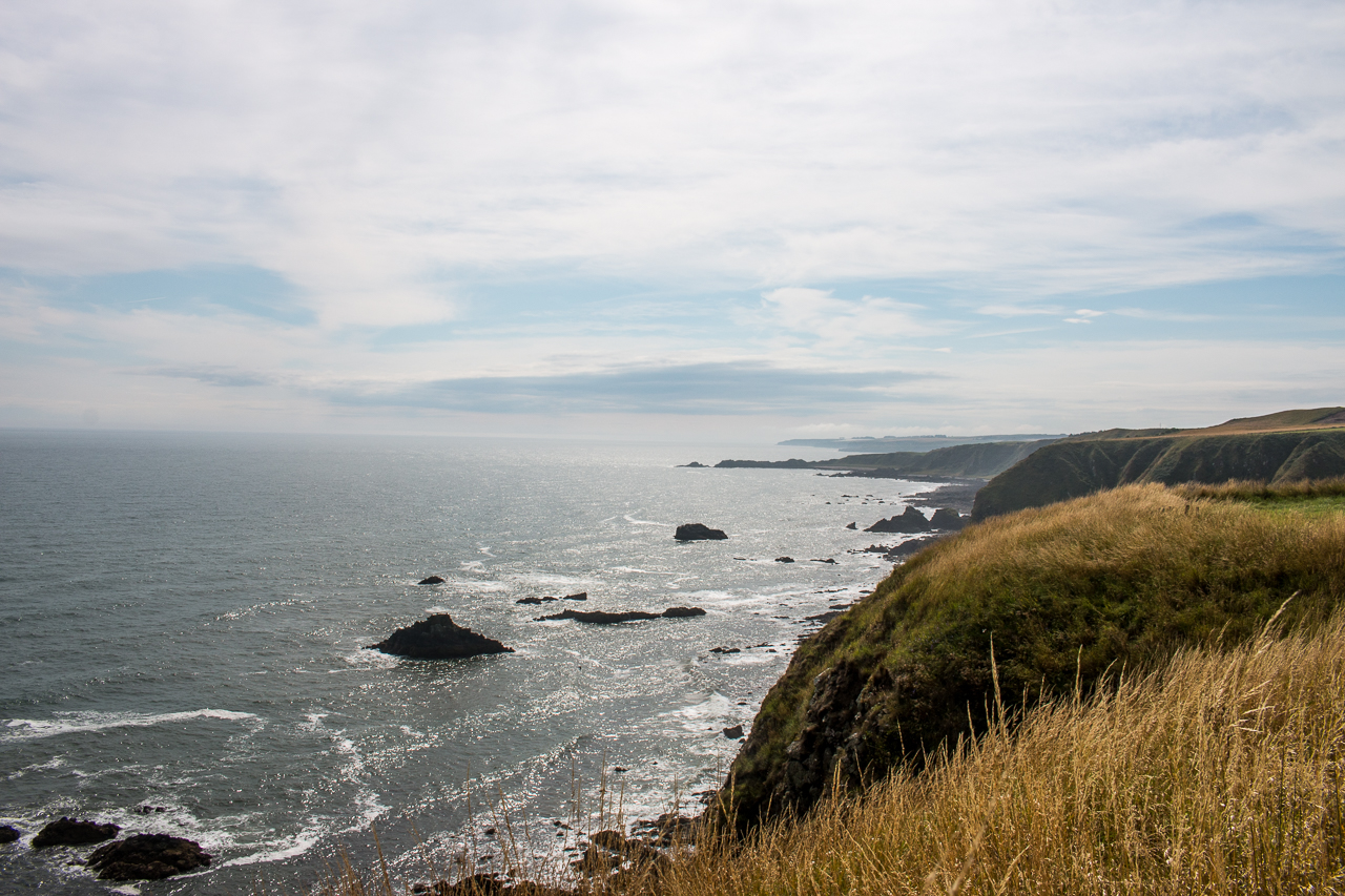
The weather was great when I left home but by the time I got to Stonehaven, the haar (sea mist) was blowing in and this was the theme for the day. The mist hovered around the coast sometimes clearing, sometimes blowing back in. The scenery at Muchalls which I’ve written about before) is magnificent, even in the mist.
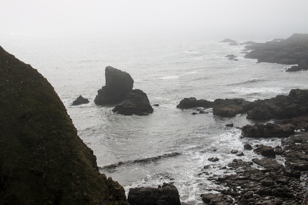
I’ve been part of the way along the beach there and I thought that it would be possible to follow the beach then pick up the path shown on the map around Doonie Point. We followed the rocks around through a gap in the cliffs then were brought to a stop by a burn in spate. The stepping stones were covered in seaweed and mostly submerged so we decided it was too risky to cross so we retraced our steps back to the path from the village at Grim Briggs.
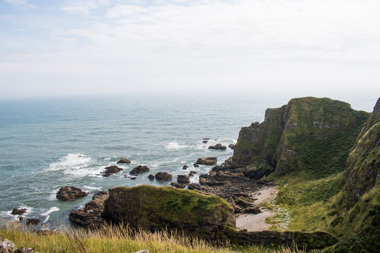
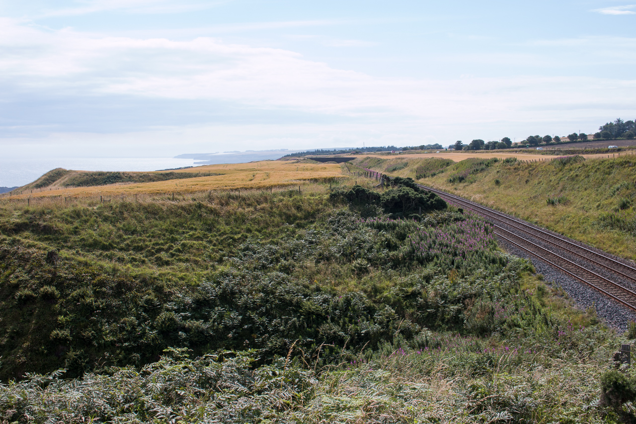
The path marked on the map to the east of the railway looked pretty overgrown but doable so we headed along there. We struggled through bracken, thistles and nettles and soon reached the hamlet of Mill of Muchalls. Instead of following the coast though, we decided to stick to the vestigial path between the field and the railway line. The weather improved and we had great coastal views.
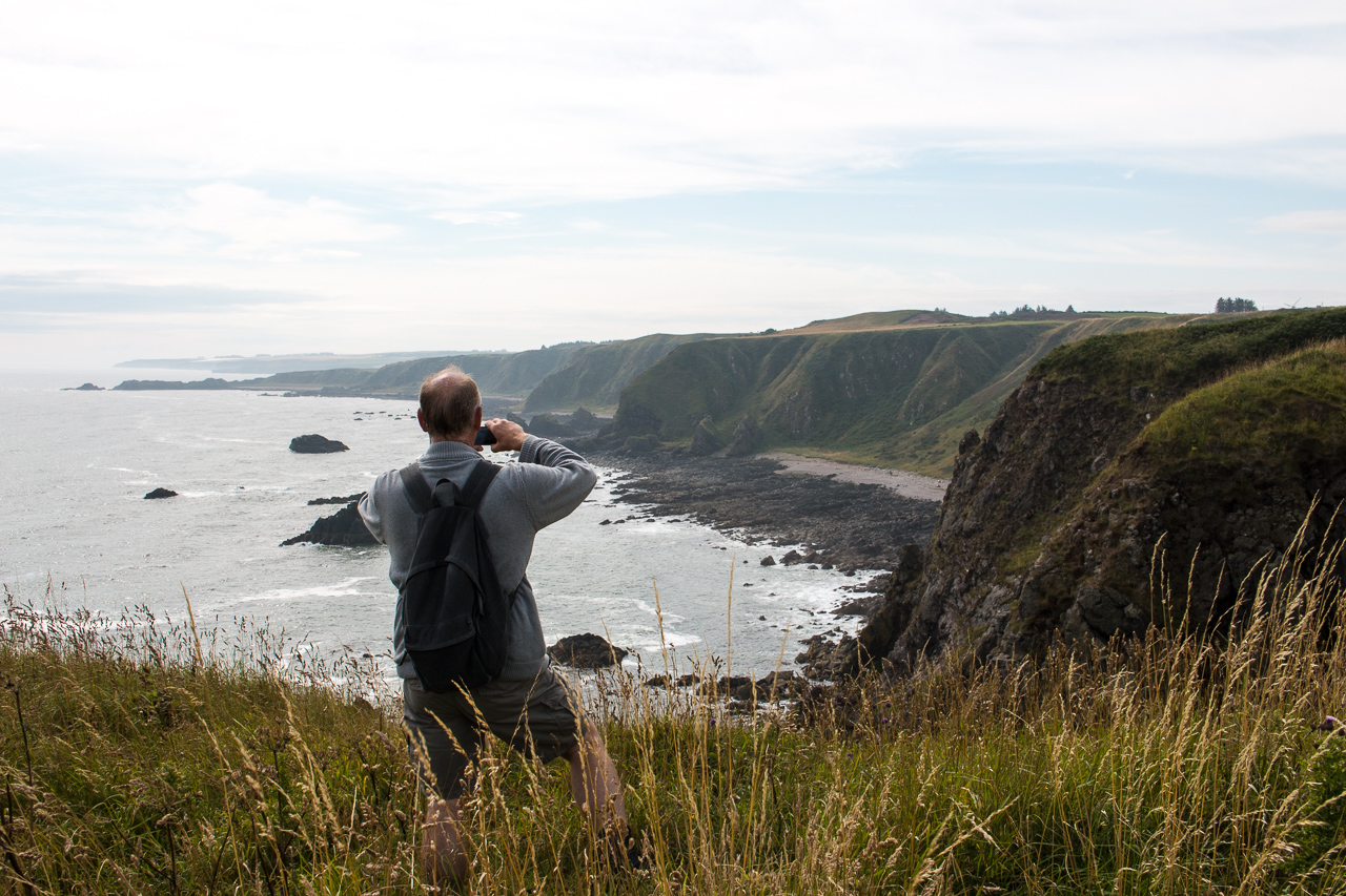
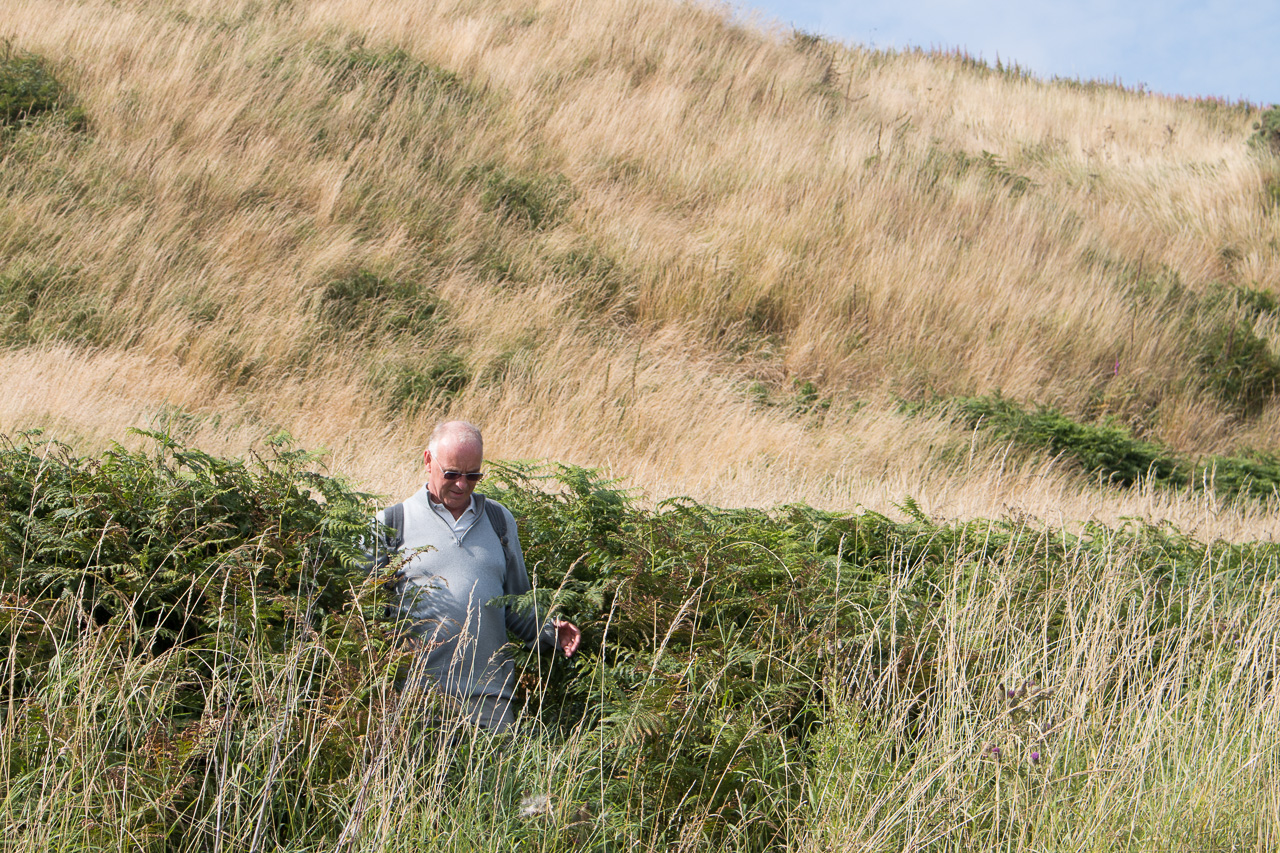
Overgrown was the theme of most of the rest of the walk and we struggled through vegetation and sometimes followed the tractor tracks in field of ripening barley. Progress was slow but possible. The most challenging bit was where there was only a very small gap between an inlet and the railway line with no obvious path. But we made it and shortly after came to the very welcome short turf of Stonehaven Golf course.
There’s no nonsense in Scotland about golf courses being private so we walked round the edge of the course. It must be one of the most scenic golf courses in the country.
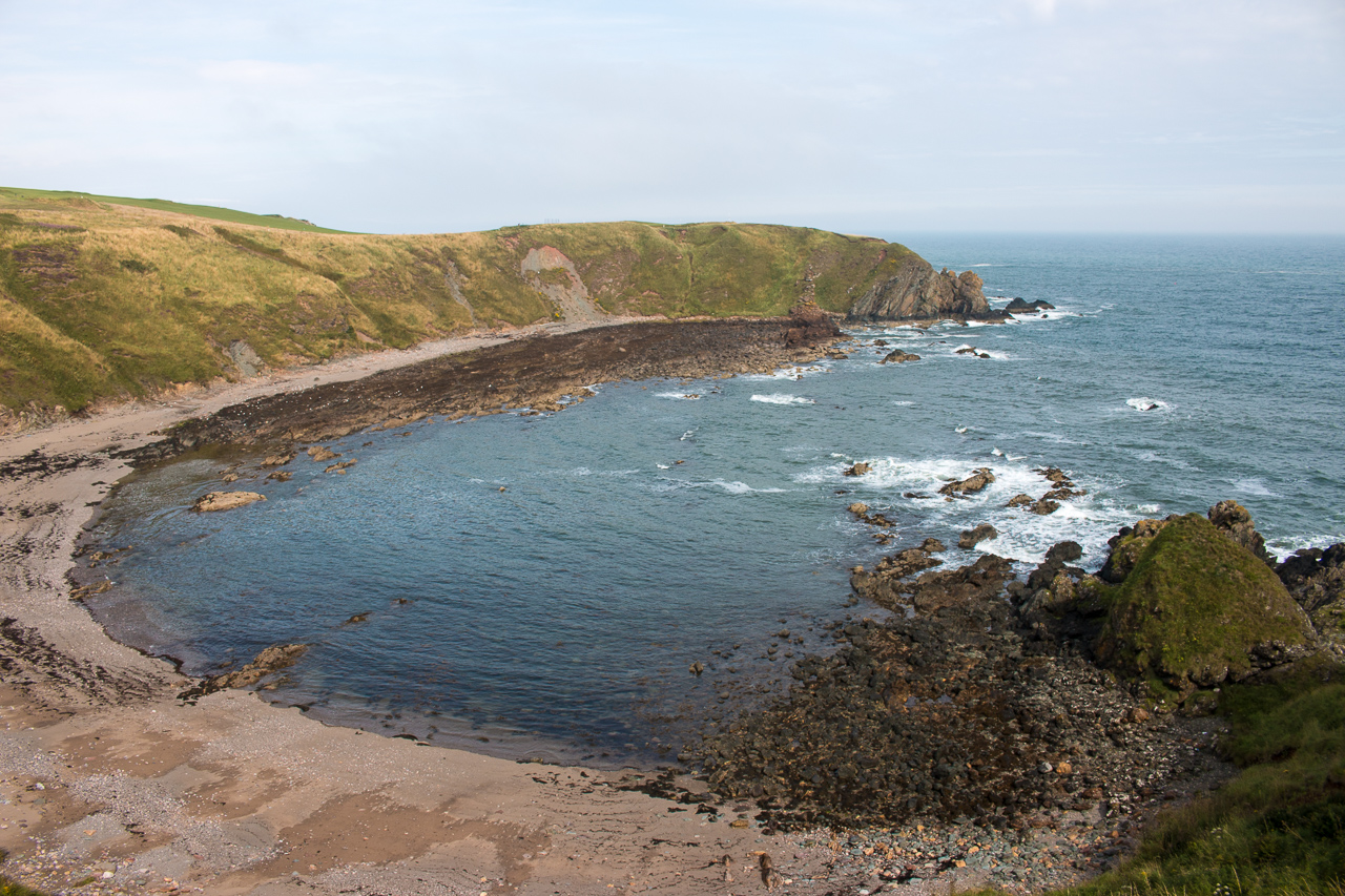
We regained the cliff path after the ruined Cowie chapel, St Mary of the Storms on the edge of the course. We decided to finish the walk on the beach and had a final vegetal struggle through the head high bracken.
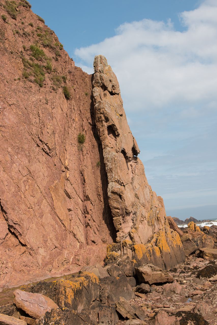
Stonehaven marks the boundary between highland and lowland Scotland, and we stopped to look at the rocks of the Highland Boundary Fault. It’s not clear to a non%20geologist (me) exactly where the fault starts but these rocks look to be part of it.
We finally got back to Stonehaven just as the weather deteriorated - this was the last sunshine of the afternoon.